


"For my part, I travel not to go anywhere, but to go. I travel for travel's sake. The great affair is to move."
- Robert Louis Stevenson
- Robert Louis Stevenson
Interactive and detailed maps of the Angkor Archaeological Park.
Use the maps to navigate the temples, plan your itinerary and discover their history. Browse some sample itineraries which avoid the worst tourist crowds.
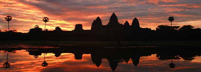
Map covering the main temple sites of the Angkor Archaeological Park, including Angkor Wat, Angkor Thom and the temples of the small and great circuits. Outlying sites, include the Roluos group, Phnom Krom, Wat Atvea, Phnom Bok and Chau Srei Vibol. Roads out to the villages around the Tonle Sap lake are also indicated.

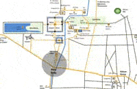
An aerial photograph of the main Angkor Archaeological park area has been used as a base to create an interactive map showing many of the temple sites, roads and features, with suggested tour routes coming soon.

A selection of the temple sites with their build dates (and founder).

Map of the main temples, palaces and features of the walled city of Angkor Thom, Angkor Wat, and many of the smaller temples around these two main sites.
Cambodia travel information and Angkor Wat tour specialists ABOUTAsia are based in Siem Reap just 4km from Angkor Wat. At the heart of the organisation is a guiding research centre providing Cambodia vacation advice and industry leading tours planning.
Peerless service standards and local positioning have made us the tour operator of choice by international luxury travel groups and discerning independent travellers to Angkor Wat, Cambodia and Southeast Asia.


