


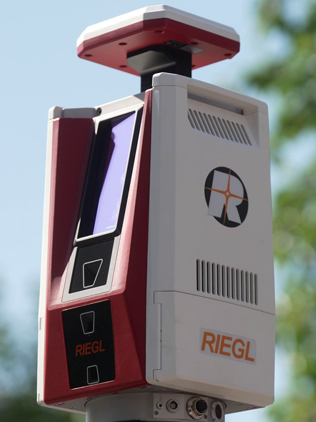

New RIEGL Laser Scanning Solutions for UAV-based Surveying
Latest news
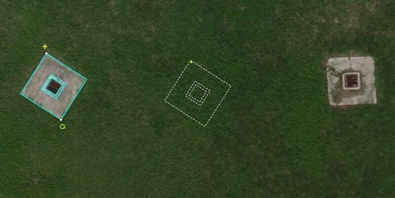
Virtual Surveyor Adds Planimetric Survey Functionality to Latest Release of Smart Drone Surveying Software
19th April 2024
Virtual Surveyor Adds Planimetric Survey Functionality to Latest Release of Smart Drone Surveying Software
YNSAT Awarded ESA Contract for Satellite Imagery Processing and Visualization Platform
19th April 2024
YNSAT Awarded ESA Contract for Satellite Imagery Processing and Visualization Platform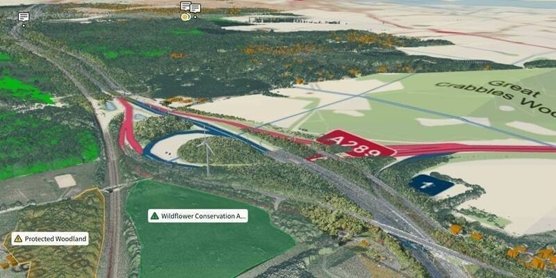
Ordnance Survey And Sensat Collaboration Will Redefine Standards Of Data Visualisation
18th April 2024
Ordnance Survey And Sensat Collaboration Will Redefine Standards Of Data Visualisation
New Chairs Announced at Association for Geographic Information
18th April 2024
New Chairs Announced at Association for Geographic InformationVideos
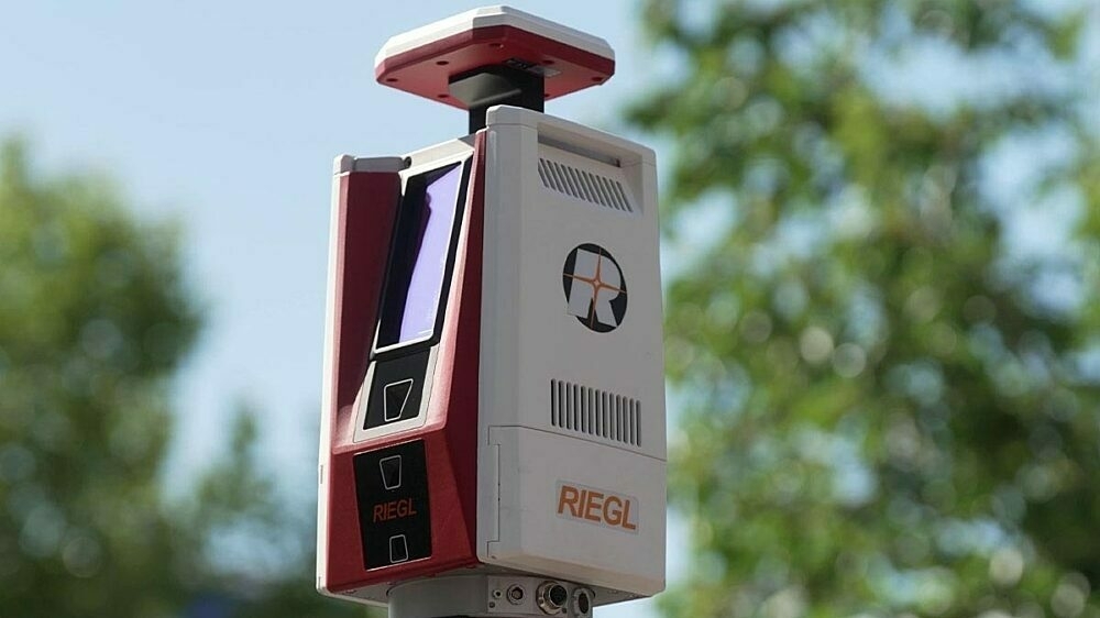
RIEGL VZ-600i: High Speed Laser Scanning for Professionals
12th October 2023
RIEGL VZ-600i: High Speed Laser Scanning for Professionals

KOREC Group unveils new customer-centric Mission Statement
18th April 2023
KOREC Group unveils new customer-centric Mission StatementIn Depth
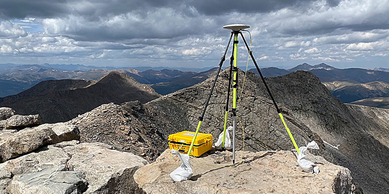
Reevaluation of Colorado's iconic summits is part of a national remapping project
19th April 2024
Reevaluation of Colorado's iconic summits is part of a national remapping project
Chennai growth maps blueprint for rural-urban areas in Global South
17th April 2024
Chennai growth maps blueprint for rural-urban areas in Global South
From tape measures to space lasers: Quantifying biomass of the world's tallest forests
16th April 2024
From tape measures to space lasers: Quantifying biomass of the world's tallest forestsEvents

24-26
Sep
INTERGEO 2024
INTERGEO 2024
11-12
Sep
Space-Comm Scotland
Space-Comm Scotland
08-10
Aug